
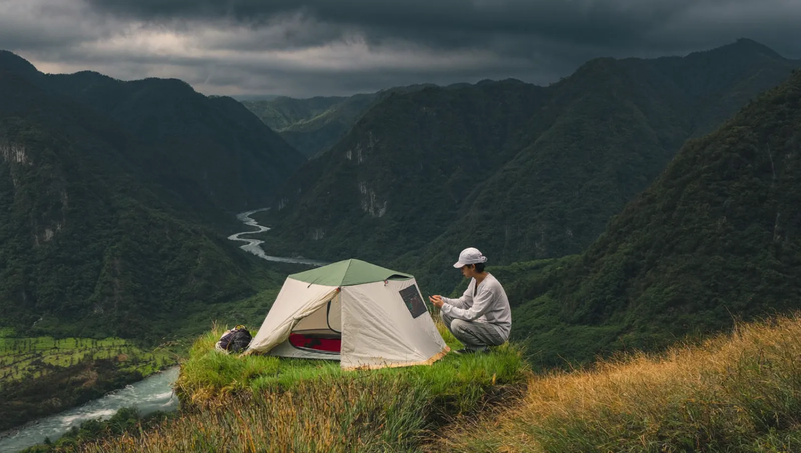
Most camping accidents in Japan are not caused by bad luck. They are caused by good weather information that nobody read. Japan has one of the densest, most reliable public forecasting systems in the world, run by the Japan Meteorological Agency (JMA), and almost all of it is free and updated constantly. The skill that separates a calm trip from a frightening one is not owning better gear — it is knowing which numbers to look at, and what they mean for a person sleeping outside.
This guide is about that skill. It assumes you can find a weather app; it teaches you how to think about what the app is telling you.
Start with the forecast, then choose the site
Beginners pick a campsite first and check the weather second. Reverse it. The JMA website (jma.go.jp) publishes a point forecast for essentially every populated valley in Japan, plus specialized products for wind, rainfall, and hazards. Read the three-day forecast for the exact area first, and let it decide whether this weekend is a coast trip, a highland trip, or a trip you postpone. A campsite that is perfect in still air can be untenable in a gale, and the only way to know is to look before you commit.
One habit matters more than any single number: check the forecast repeatedly as the trip approaches. A forecast issued five days out is a rough sketch; the version issued the morning you leave is a photograph. Weather in Japan's mountains changes fast, and the agency updates accordingly.
Wind is the tent-killer — read it by terrain
Rain is uncomfortable. Wind is dangerous. A collapsed or shredded tent at 2 a.m. in cold rain is how a minor trip becomes a serious one, and wind does far more damage than most first-timers expect.
The forecast gives you wind speed in meters per second (m/s). As a rough field rule: below 5 m/s is calm, 5–10 m/s makes a tarp awkward and a tall tent noisy, and above 10 m/s you should question whether to pitch at all in an exposed spot. Gusts matter more than the average — a 7 m/s average with 15 m/s gusts is what bends poles.
But the forecast number is for open, standard conditions. Terrain rewrites it. A ridge, a pass, a lakeshore, or the mouth of a valley can double the wind you actually feel, while a hollow behind a treeline can halve it. This is why the same forecast produces a pleasant night at one site and a destroyed tent an hour away. When wind is in the forecast, choose a sheltered pitch — behind trees or a landform, not on an open platform with a view — and orient the tent's strongest end into the wind.
Rain totals and rain intensity are two different problems
Japanese forecasts report rainfall as millimeters per hour and as an expected total. Learn to separate them, because they threaten you in different ways.
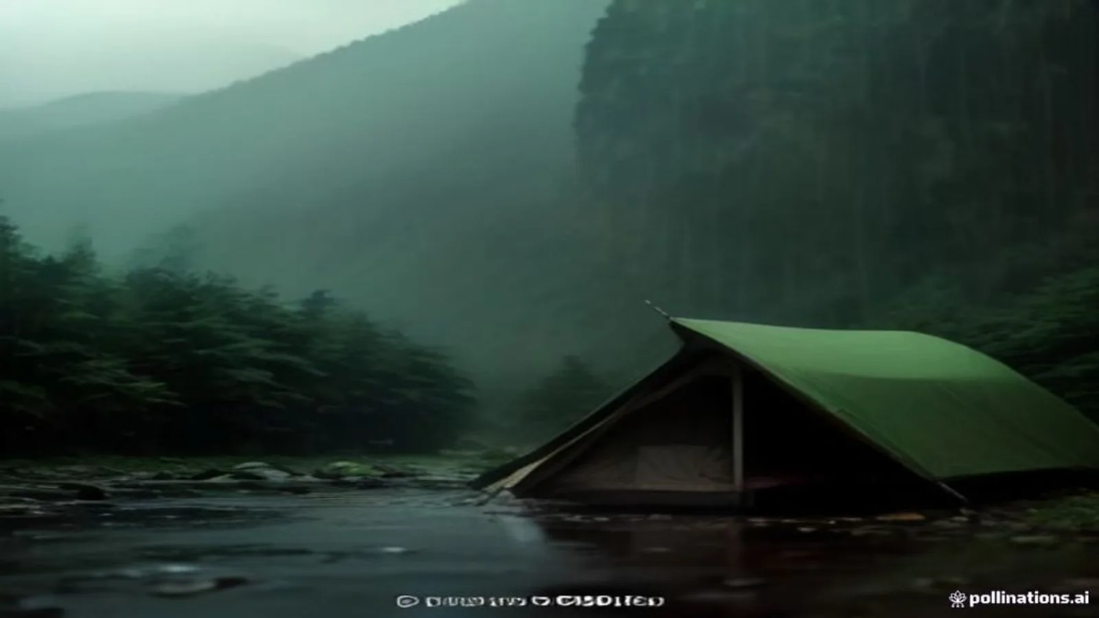
Hourly intensity is the immediate hazard. Around 10 mm/h is steady rain; 20–30 mm/h is heavy and will test every seam and drainage line at your site; above 50 mm/h is the kind of downpour the JMA describes as a violent, bucket-emptying rain that reduces visibility and overwhelms drainage. At those intensities, water does not soak in — it runs, and it runs downhill toward whatever is lowest, which must never be your tent.
The multi-hour total is the slower hazard. It saturates the ground, swells rivers, and loads slopes until they fail. A modest 15 mm/h that continues for twelve hours is, in total, a large and consequential amount of water even though no single hour felt extreme. When you read the forecast, ask both questions: how hard, and for how long.
The warning-level system, 1 to 5
Since 2019 the JMA has communicated disaster risk on a five-level scale, and it is the single most useful thing for a traveler to understand because it tells you what to *do*, not just what the weather *is*.
Level 1 is early awareness. Level 2 means check hazard information and your evacuation options. Level 3 is a call for the elderly and vulnerable to evacuate, and a clear signal that a camper should already be leaving low or exposed ground. Level 4 means everyone in the area should evacuate. Level 5 means a disaster is already occurring and safety can no longer be guaranteed — it is not an instruction to start planning, it is confirmation that you left it too late.
As a camper your personal threshold should sit far below the official one. Do not wait for Level 4 to leave a riverbank. Treat Level 3, or your own judgment before it, as your cue to move to safe, high, solid ground or to abandon the trip.
Rivers rise from rain you cannot see
The most misunderstood hazard in Japanese camping is the river that floods under a blue sky. Rivers drain whole mountain basins. Rain falling heavily ten or twenty kilometers upstream, in weather you cannot see from your gravel bar, can send a fast, cold surge down the valley an hour or two later. People have been swept from riverbeds that looked perfectly safe at the moment they pitched.
The rule is simple and non-negotiable: never camp on a low gravel bar or directly beside a river when there is any rain in the wider mountain forecast — not just your local one. Check the upstream area, look at the river's high-water marks and the bare, scoured stones that show how high it rises, and camp above them. The JMA's rainfall and river-risk maps are built precisely for this; use them before you trust your eyes.
A weather routine you can actually keep
Skill is a routine, not a moment of inspiration. Build a simple one.
Before you leave home: read the three-day area forecast, the wind numbers, the rainfall intensity and totals, and any active warnings for both your site and the mountains upstream of it. Decide your cancel conditions now, while you are calm and dry, and write them down. On site: re-check the forecast when you arrive and again before sleep, note where the water would go in a downpour, and identify your retreat route to high, solid ground in the dark. Through the trip: if the sky, the wind, or the river disagrees with the forecast, believe what you can see.
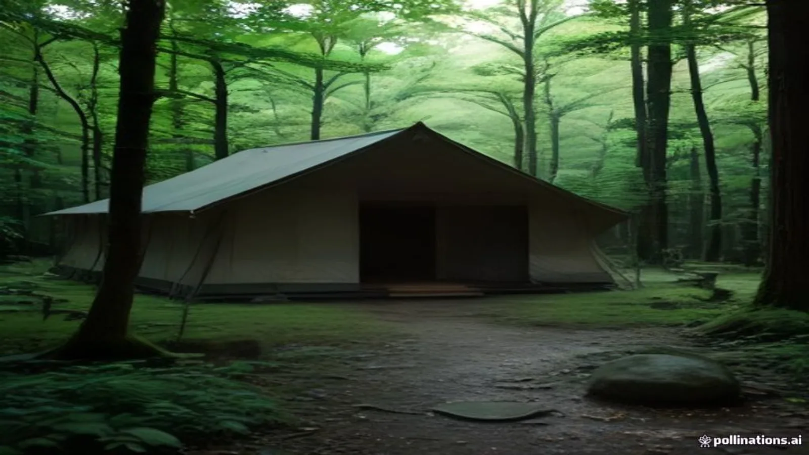
Knowing when to cancel is the real skill
New campers treat cancelling as failure. Experienced ones treat it as the most advanced move they make. Anyone can pitch a tent in good weather. Reading a forecast, understanding that a typhoon's outer bands or a stalled rain front will make a site dangerous, and choosing to stay home or change plans — that is the judgment that keeps people alive across a lifetime of trips.
Japan gives you extraordinary information for free. The mountains, rivers, and coast do not grade on effort or good intentions. Learn to read the forecast, set your thresholds in advance, and let the weather — not your plans — have the final word. Always confirm current warnings on the official JMA site before you travel, because conditions and the forecast can change after you leave.